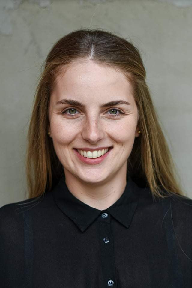
dr inż. Karolina Owczarz
Email: karolina.owczarz@pwr.edu.pl
Jednostka: Wydział Geoinżynierii, Górnictwa i Geologii » Katedra Geodezji i Geoinformatyki
 Konsultacje
Zainteresowania naukowe
- wpływ sejsmiczności indukowanej na powierzchnię terenu, satelitarna interferometria radarowa (InSAR); systemy informacji geograficznej (GIS).
Najważniejsze publikacje z ostatnich lat
2020
- Kopeć, A.; Trybała, P.; Głąbicki, D.; Buczyńska, A.; Owczarz, K.; Bugajska, N.; Kozińska, P.; Chojwa, M.; Gattner, A. Application of Remote Sensing, GIS and Machine Learning with Geographically Weighted Regression in Assessing the Impact of Hard Coal Mining on the Natural Environment. Sustainability 2020, 12, 9338. https://doi.org/10.3390/su12229338
- Owczarz, K.; Blachowski, J. Application of DInSAR and Spatial Statistics Methods in Analysis of Surface Displacements Caused by Induced Tremors. Appl. Sci. 2020, 10, 7660.
- Owczarz K., Blachowski J. Analysis of the geometry of surface deformations caused by induced tremors in the area of underground copper mining. W: ISPRS Annals of the Photogrammetry, Remote Sensing and Spatial Information Sciences : XXIV ISPRS Congress, 31.08-02.09.2020, Nice, France / eds. N. Paparoditis [i in.], 2020, pp. 149-156.
2019
- Blachowski, J.; Kopeć, A.; Milczarek, W.; Owczarz, K. Correction: Blachowski, J., et al. Evolution of Secondary Deformations Captured by Satellite Radar Interferometry: Case Study of an Abandoned Coal Basin in SW Poland. Sustainability 2019, 11, 884. Sustainability 2021, 13, 913. https://doi.org/10.3390/su13020913
- Owczarz K., Blachowski J. Badania przemieszczeń powierzchni spowodowanych wstrząsami górniczymi z zastosowaniem satelitarnej interferometrii radarowej na przykładzie LGOM. Przegląd Górniczy, 2019, nr 1, s. 53-61.
